SERVICES
WE OFFER
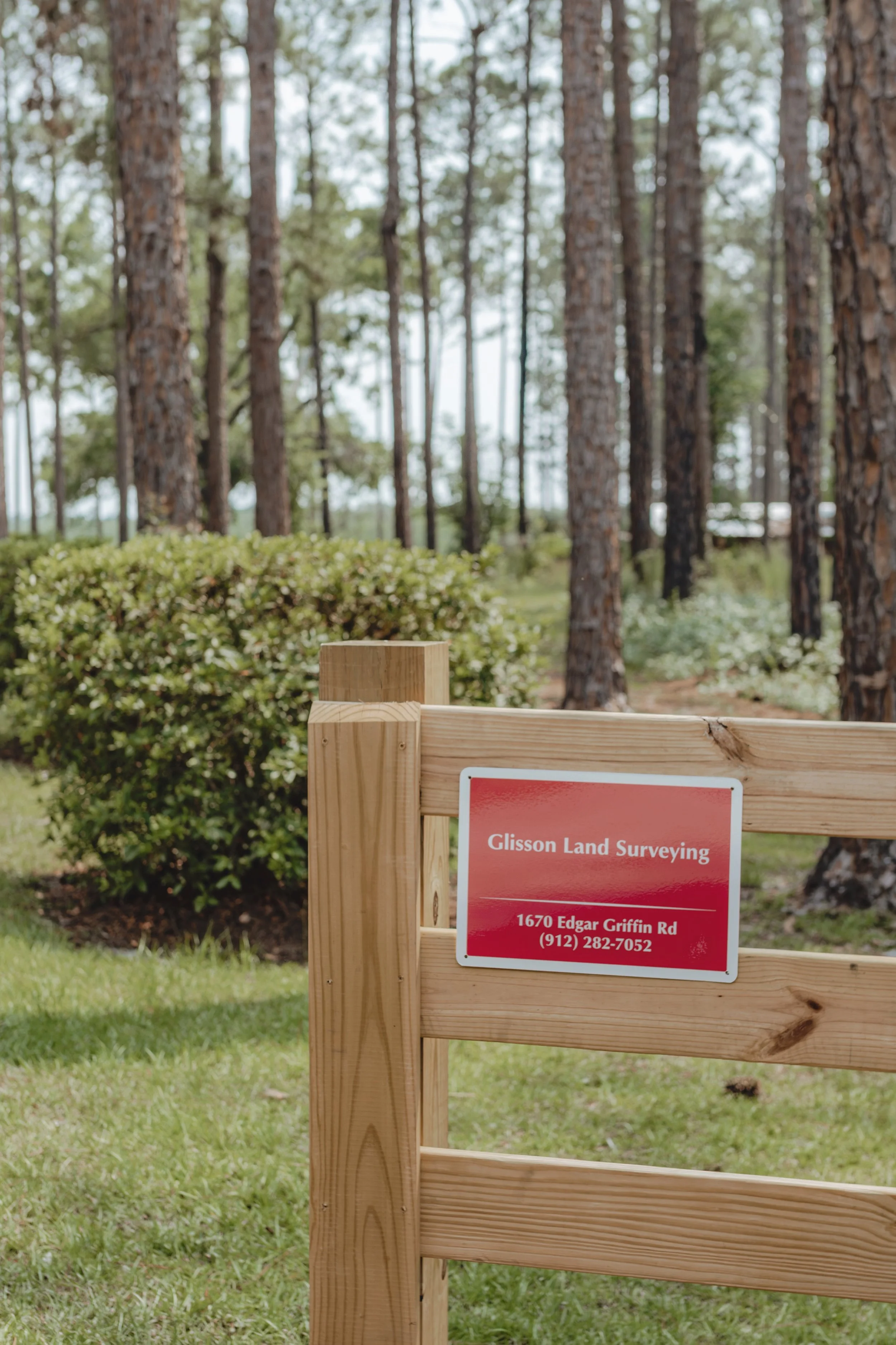
Boundaries
We mark property lines, locate corners, and provide surveys for fences, sales, and neighbor disputes. This ensures you always know where your land begins and ends.
Compliance
From flood elevation certificates to plot plans and HOA surveys, we help you meet permit, insurance, and zoning requirements without delays.
Development
Whether you’re splitting land, planning a subdivision, or laying out utilities, we provide the surveys you need to move forward with confidence.

ASBUILT
SURVEY
final survey, construction survey, what’s-built survey
-
A map of what’s actually been built on your land.
-
Closing out permits, passing inspections, or making sure everything is built in the right spot.

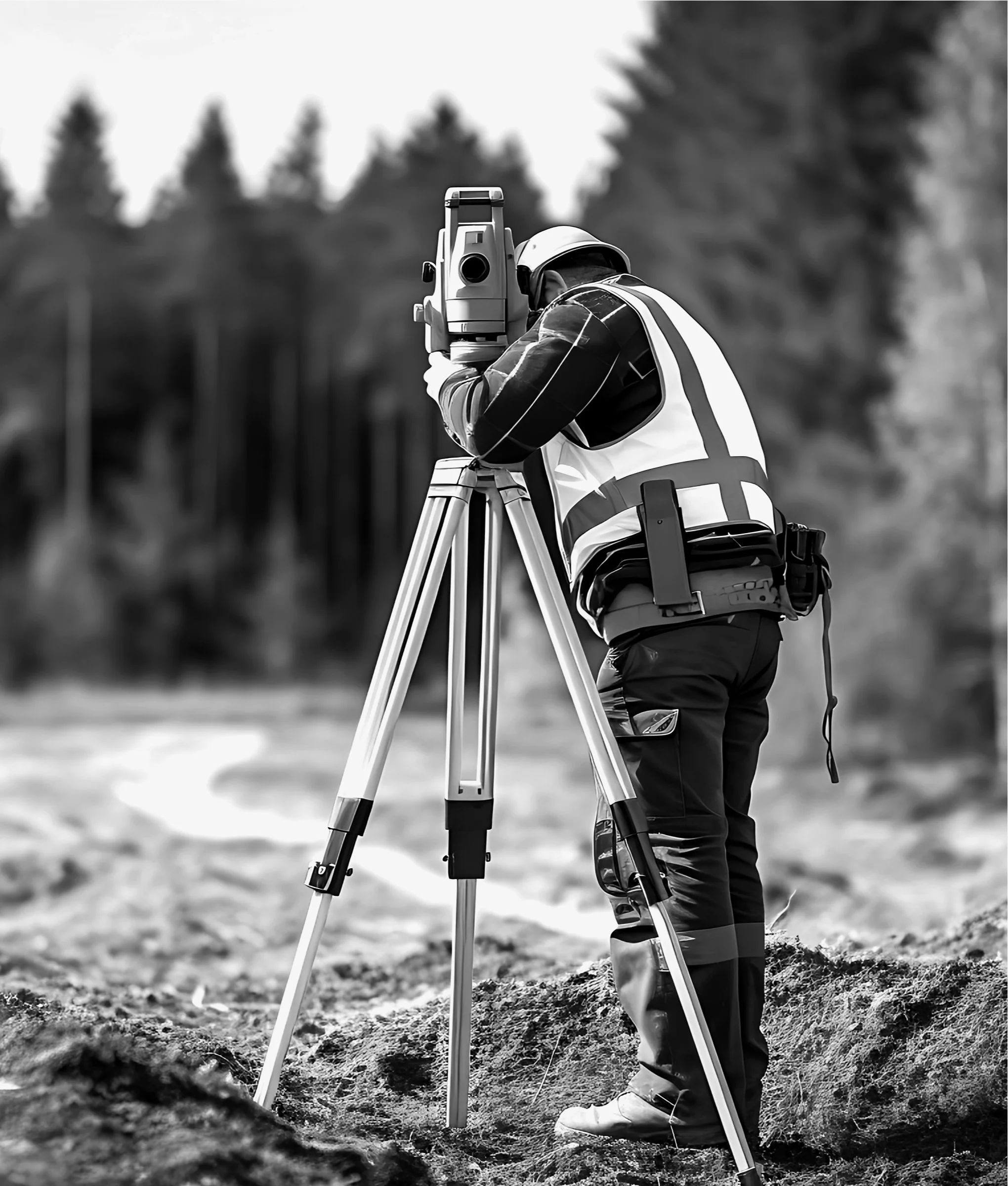
DRONE ARIAL
SURVEY
drone mapping, aerial land scan, overhead land survey
-
Land photos and data collected by flying a drone overhead.
-
Big properties, farmland, or tracking progress on job sites.

PLOT PLAN/
HOA SURVEY
lot layout, site plan, permit drawing
-
A sketch of your property showing where things like your house, your driveway, or fence sits (or will sit).
-
Getting HOA approval, permits for sheds or additions, or meeting zoning rules.

BOUNDARY LOT
SURVEY
property line survey, land line check, fence line survey
-
A survey that shows exactly where your property line begins and ends.
-
Putting up a fence, selling property, or settling line disputes with neighbors.

FLOOD
ELEVATION
CERTIFICATE
FEMA certificate, elevation form, flood zone paperwork
-
A document that shows how high your house or land sits compared to nearby flood zones.
-
Getting flood insurance, lowering your premiums, or building in flood-prone areas.

ROUTE UTILITY
SURVEY
driveway survey, water line survey, pipe or cable route map
-
A map showing where roads, driveways, pipes or cables will go.
-
Planning new driveways, utility work, or road construction.
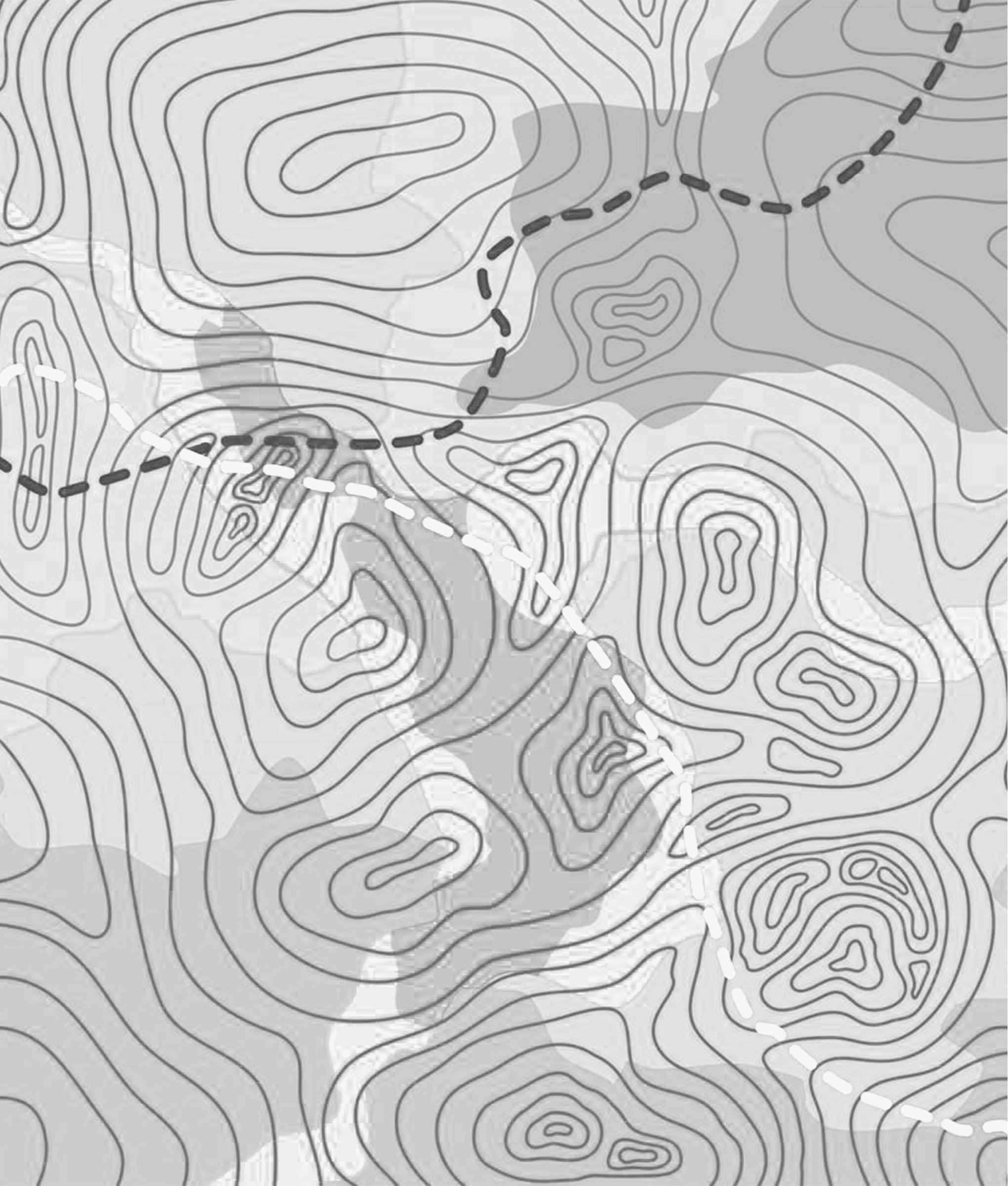
TOPOGRAPHICAL
SURVEY
topo map, land slope survey, contour map
-
A survey that shows the ups and downs of the land such as hills, ditches, and drainage spots
-
Building plans, grading land, fixing drainage, or preparing for construction

COMMERCIAL ALTA
SURVEY
title survey, commercial property survey, real estate closing survey
-
A detailed survey required for buying or developing commercial land.
-
Getting loans, real estate closings, or showing legal boundaries and easements.

FOUNDATION
ELEVATION
CHECK
slab check, crawl space height check, flood height survey
-
A measurement of how high your house or mobile home sits above ground or flood level.
-
Meeting flood zone rules, getting inspections passed, or closing out permits
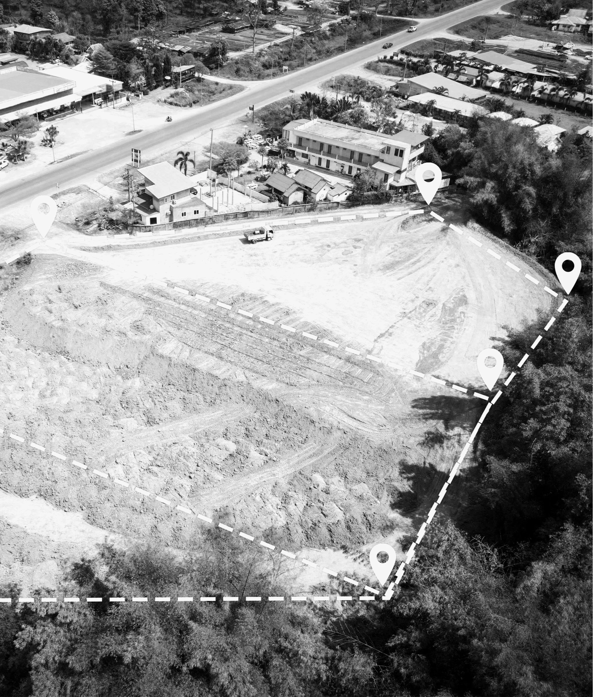
SUBDIVISION/
PROPERTY SPLIT
land split, lot divide, property break-up
-
A survey that legally divides one piece of land into two or more.
-
Selling off a piece of land, dividing property between family, or planning a new neighborhood.
TREE/WETLAND
SURVEY
tree location map, swamp line survey, protected land survey
-
A survey that shows where protected trees or wetland areas are on your land.
-
Getting permits, clearing land, or avoiding fines for cutting or building in protected zones.